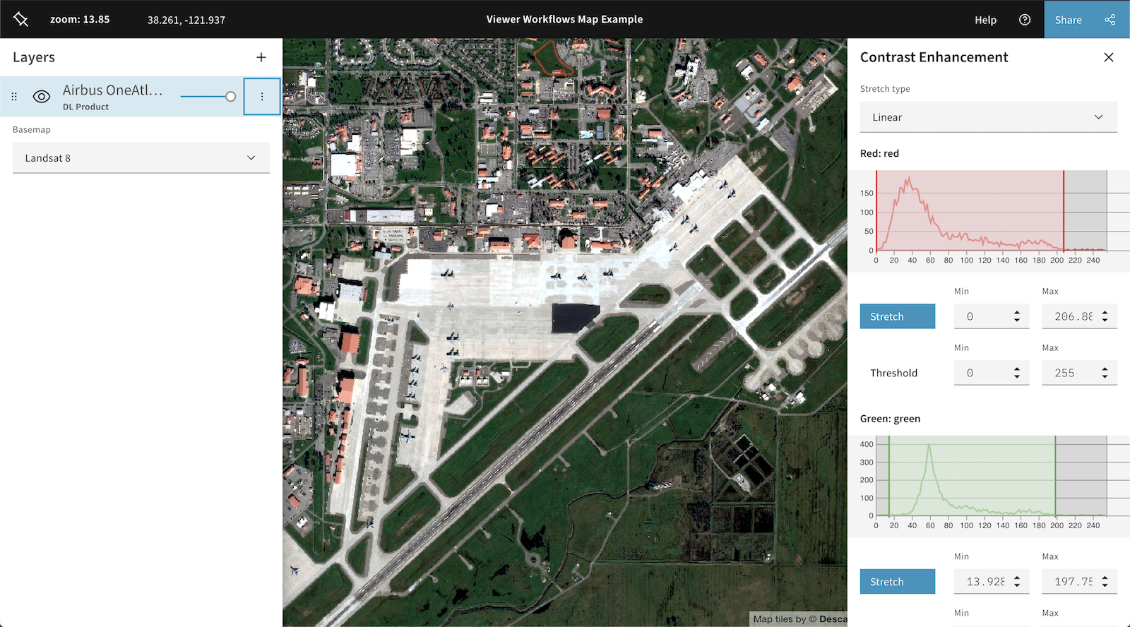
The Descartes Labs’ platform uses machine learning and artificial intelligence to fuse and analyze data from space and aerial sources
WASHINGTON — Geospatial analytics company Descartes Labs has been awarded a $1.5 million contract to help the U.S. Air Force draw intelligence from imagery and other data collected by satellites and by autonomous aerial vehicles, the company announced July 8.
The 12-month contract was awarded under the Small Business Innovation Research program. The project is sponsored by the Air Force’s technology accelerator known as AFWERX and the Air Force Research Laboratory’s Space Vehicles and Information Directorates.
The Air Force will use Descartes Labs’ cloud-based data platform to analyze data from unclassified space sensors, ship tracking signals and from high-altitude surveillance drones like the Air Force’s Global Hawk.
The platform uses machine learning and artificial intelligence to fuse and analyze data from many sources and turns them into visual products for military commanders trying to make sense of what’s happening on the ground.
These tools help create a “single source of intelligence truth,” said Matt Tirman, global public sector director at Descartes Labs. “With the implementation of artificial intelligence, machine learning and computer vision techniques, the Air Force will gain actionable insights to improve decision-making.”