SAN FRANCISCO – Maxar Technologies unveiled a platform to simplify and speed up access to high-resolution Earth imagery.
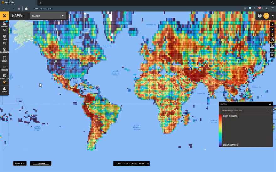
The Maxar Geospatial Platform (MGP), demonstrated at the Esri User Conference in San Diego this week, offers access to archival and current imagery online and through an application programming interface.
“It revolutionizes the way our customers can access and buy imagery,” Sid Dixit, Maxar vice president of engineering and product, told SpaceNews. “For example, using MGP Express, you can simply swipe through your credit card and purchase the imagery without having to call or email Maxar. It gets directly delivered to you.”
In the future, MGP will allow customers to task satellites and tap into advanced analytics.

Three Versions
Maxar announced three MGP products on July 10.
- MGP Xpress is designed for the general public. Customers can browse Maxar’s 125-petabyte archive, purchase and download images.
- MGP Pro, which requires a subscription, provides access to imagery collected daily, Maxar’s basemap, archive and other geospatial data products.
- MGP API provides developers with a software development kits and tools to embed the API in customer Apps.
For now, a select group of Maxar customers have access to MGP.
“It will be available for broader adoption later this year,” Dixit said.

Commercial and Government Applications
Once tasking is available, an MGP customer focused on disaster relief could task Maxar’s constellation to obtain imagery in the wake of a hurricane or other event.
“They can task a satellite to get the latest and greatest imagery, which will allow our customers to fulfill their use case right from their workflows and applications,” Dixit said.
An international defense or intelligence agency could, for instance, tap into MGP analytics capabilities to count military object or to monitor various types of activity.
Initially, MGP will offer access to Maxar Worldview satellites. Once Maxar Legion satellites are operational, imagery from that constellation also will be available through MGP.
“MGP will enable experienced analysts, technical developers and occasional users of geospatial data to equally leverage Maxar data for mapping, monitoring and analysis in their workflows,” Dan Jablonsky, Maxar president and CEO, said in a statement.
