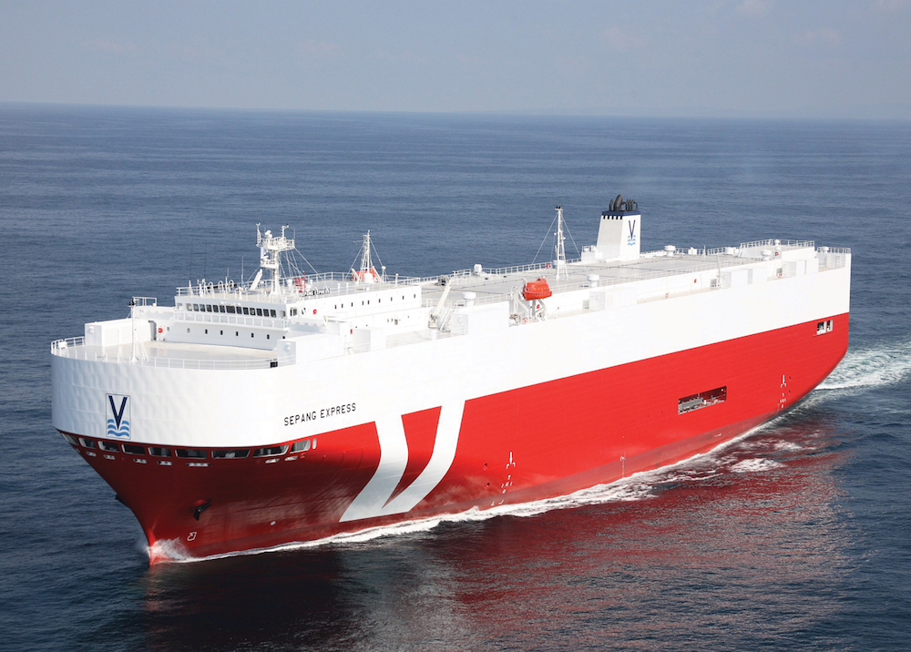
The satellite industry is being called to sea as maritime freight volumes swell to new highs, creating more urgency for space-based solutions that can improve the sustainability of oceangoing commerce.
More than 80% of all trade between countries is carried by ships, according to the United Nations, and there are growing calls for more efficient and sustainable transport planning as maritime trade volumes are set to triple by 2050.
During the UN Climate Change Conference, U.S. Climate Envoy John Kerry said Nov. 2 the United States will join 14 other countries that have pledged to achieve sustainable management for all their ocean areas by 2025.
It marks an important step for worldwide maritime sustainability efforts, although few details have emerged around how the U.S. will participate in the High Level Panel for a Sustainable Ocean Economy initiative, which outlines commitments to make shipping, fishing and other maritime industries more environmentally sustainable.
Satellites will provide the foundation for an expanding maritime sustainability market, according to Luis Gomes, CEO of smallsat and space services group AAC Clyde Space, who has spent around two decades studying seafaring constellations.
“Satellites are the ideal tool for ocean monitoring, and in many cases they are actually the only tool you can use because of the expanse,” Gomes said.
Even when satellites are not the only option for keeping an eye on the ocean, they’re often more cost-effective than airplanes and other tools used to monitor land usage.
“A lot of the pictures taken for Google Earth are from planes and not satellites,” Gomes said, “because there is a market that will pay for all those kinds of things, but many of the oceans are quite remote.”
Gomes said the smallsat industry has matured to a game-changing point for maritime monitoring, enabling high-performance satellite technology to be deployed faster and cheaper than ever before for new markets.
He pointed to the Seahawk-1 3U smallsat that AAC developed with NASA and the University of North Carolina Wilmington, which launched in 2018 to provide ocean color images for monitoring algae blooms — an important pollution indicator — among other applications.
Seahawk-1 replaced the SeaWiFS instrument that operated as a hosted payload aboard the GeoEye OrbView-2 commercial imaging satellite from 1997 to 2010. Despite being about 100 times smaller, Seahawk-1 can replicate and sometimes exceed SeaWiFS performance with higher resolution capabilities.
“There are a few things that only larger satellites could do, particularly in terms of coverage, but with a few of these small satellites you can get the same coverage — so that is not actually a major drawback,” he said.
IMPROVING AIS
Real-time ocean pollution monitoring could also one day feed into an upgraded maritime communications network that AAC is helping develop, according to Gomes, enabling fishing and other vessels to avoid problem areas.
AAC is working on a demonstrator satellite that is slated to launch in the second half of 2022 as part of a program funded by Sweden’s government to expand VDES, or Very High-Frequency Data Exchange System, which ships use for two-way communications near coasts.
The company recently signed an MoU with the demonstrator’s partners — Swedish aerospace contractor Saab and U.S.-based low Earth orbit satellite operator Orbcomm — to flesh out the scope of the project they call AOS, including the potential for a constellation of up to 100 satellites for real-time communications.
Adding space capabilities to ground-based VDES would essentially extend its range from the shoreline to anywhere in the ocean, while also improving shipto-ship communications in increasingly congested seas.
According to AOS, VDES provides 32 times more bandwidth than the Automatic Identification System (AIS) that all passenger ships, and most oceangoing vessels above a certain tonnage, are required to carry.
It isn’t the only venture looking to capture growing opportunities in an emerging maritime sustainability market.
Digitizing more operations at sea to improve maritime performance data, environmental impact monitoring and related applications is a strategic focus for the low Earth orbit constellation that OneWeb is halfway through deploying.
New “greener” fuels are significantly more expensive and yield less power than bunker fuels, noted Carol Plessy, OneWeb’s vice president of maritime.
“Connectivity will be an essential part of the equation when it comes to A) real time optimise route/ engines/speed/ arrival at berth to minimise fuel consumption b) supporting e-compliance/ regulatory with demonstrating compliance ‘as it happens’ effectively enabling class societies and classification to become digital,” Plessy said via email.
Inmarsat, Iridium and other established maritime players are also increasingly leveraging their satellites to expand maritime sustainability programs.
This article originally appeared in the November 2021 issue of SpaceNews magazine.
