SAN FRANCISCO – Satellite data could play a role in monitoring, reporting and verifying compliance with emissions trading systems also known as cap and trade, Stephanie La Hoz Theuer, a member of the International Carbon Action Partnership (ICAP) Secretariat, said at the virtual American Geophysical Union fall meeting.
ICAP is an international forum based in Berlin where 36 national, state and subnational organizations share information on emissions trading to reduce or limit greenhouse gas emissions.
Currently, 21 emissions trading systems are operating. Another 24 are either under consideration or in the process of being established, La Hoz Theuer said.
To date, satellite data has not been widely applied to the task of supporting those systems.
“The current use of satellite data is happening primarily in New Zealand and California and in the sector of forestry,” La Hoz Theuer said.
However, additional ICAP members are interested in learning whether satellites could provide useful data particularly in the area of offsets related to forestry, La Hoz Theuer said.
In some emissions trading systems, greenhouse gas emitters can purchase forest offsets to compensate for carbon emissions produced. Offsets like emissions have a monetary value, which means they must be measured with precision, La Hoz Theuer said.
“There’s also interest in identifying and quantifying point sources of various greenhouse gases, both for calculation and for verification of emissions data,” she said. “If we think about opportunities and challenges for satellite data in an emissions trading systems, generally satellite data could be used for offsets and/or to enable emission trading systems to expand their coverage, for example, in the forestry sector.”
Before they consider adopting space-based observations, though, ICAP members want to understand the type of satellite data available and its precision, La Hoz Theuer said.
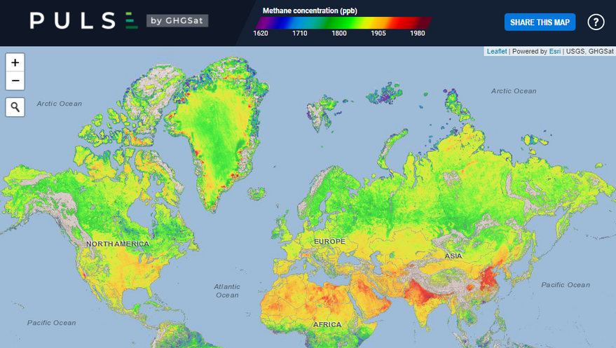
Satellites could play a role in helping to pinpoint combustion and methane sources.
The question is what gases can satellite sensors detect and at what level of precision, La Hoz Theuer said. Also, what is their ability to ascribe emissions to a specific source, she asked.
