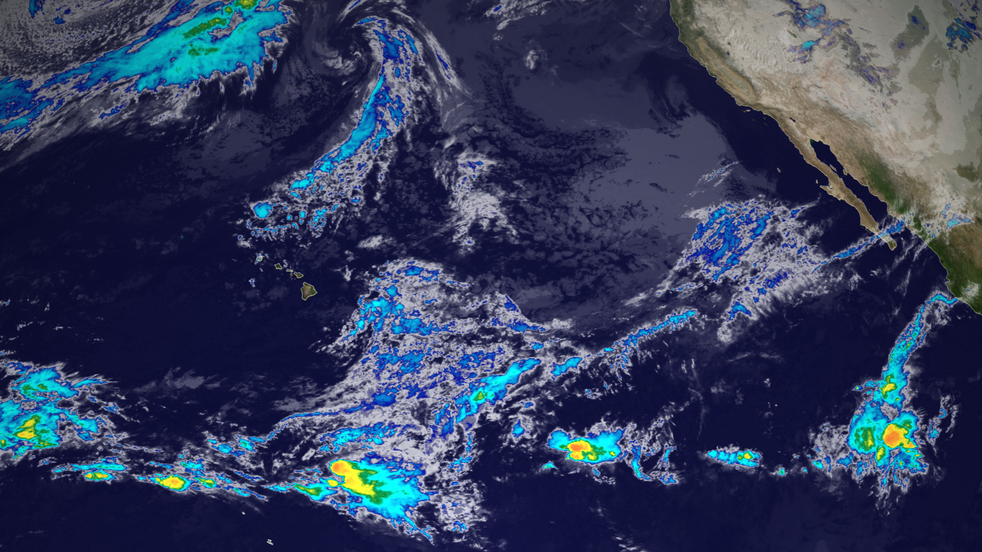
WASHINGTON — The U.S. Space Force for the second time has taken ownership of a retired National Oceanic and Atmospheric Administration weather satellite to fill gaps in coverage for the U.S. military.
NOAA’s Geostationary Operational Environmental Satellite known as GOES-15, originally activated in 2011, was transferred to the Space Force to extend weather coverage of the Indian Ocean region for the next several years, the Space Force announced Sept. 22.
Under a partnership between the Department of the Air Force and NOAA, the Space Force uses residual GOES satellites to collect cloud imagery and other weather data over the Indian Ocean region. The military needs accurate weather data to plan operations in the air, land and sea.
The first transfer occurred in 2020, when the Space Force repurposed GOES-13 — which NOAA launched in 2006 and retired in 2018 — as the Electro-Optical Infrared Weather System-Geostationary EWS-G1.
Based on remaining fuel estimates, EWS-G1 is projected to reach the end of its service life in February 2024.
A second NOAA satellite to fill gap
The transfer of GOES-15, redesignated EWS-G2, will ensure there’s continued coverage, the Space Force said. NOAA was able to turn over GOES-15 to the military after its new GOES-18 became operational and Congress approved the transfer.
“While the Space Force is exploring long-term solutions for persistent weather coverage in the region beyond 2030, the service required a replacement to succeed EWS-G1,” Lt. Col. Joseph Maguadog, head of the Space Systems Command’s EO/IR weather system program office, said in a statement.
Under a program called EWS, short for Electro-Optical/Infrared (EO/IR) Weather Systems, the Space Force is evaluating prototype weather satellite concepts to replace its aging DMSP weather satellites.
“The repurposing of GOES-15 and residual NOAA ground equipment accomplished the mission at a fraction of the procurement cost of a brand-new system,” Maguadog said.
GOES-15 is currently drifting towards the Indian Ocean region and is expected to reach its assigned orbital location in November. The satellite was in a fixed orbit over the Pacific Ocean, midway between Hawaii and the West Coast, 22,300 miles above the equator.
EWS-G2 will continue to use an existing ground station in Western Australia put in place in 2020 to support the EWS-G mission. As it currently does with EWS-G1, NOAA will operate EWS-G2 on behalf of the Space Force from the NOAA Satellite Operations Facility in Suitland, Maryland, and Wallops Command and Data Acquisition Station in Wallops Island, Virginia.
